The Atlas trek that changed my mind about failing
I was going to summit Toubkal. Then I wasn’t.
The plan was simple. I had done the research, booked the mule team and guide through a Imlil agency, packed appropriately for October altitude, and given myself three days: Imlil to the Nelter refuge (Day 1), summit attempt before dawn (Day 2), descent to Imlil (Day 3). Jebel Toubkal, 4,167 metres — the highest peak in North Africa, the crown of the High Atlas, something I had wanted to tick for ten years.
I made it to the refuge. I made it partway up the summit approach in the dark. And then the altitude, which I had read about and imagined and slightly dismissed, introduced itself as a physical reality that I could not negotiate with or think my way around.
At 3,600 metres, somewhere in the scree field below the false summit, I sat down on a boulder at 4:30 in the morning with a headache that felt like someone was driving a steel spike through my left temple and thought: this is not going to happen today.
What happened instead was, I think, better.
The village before the mountain
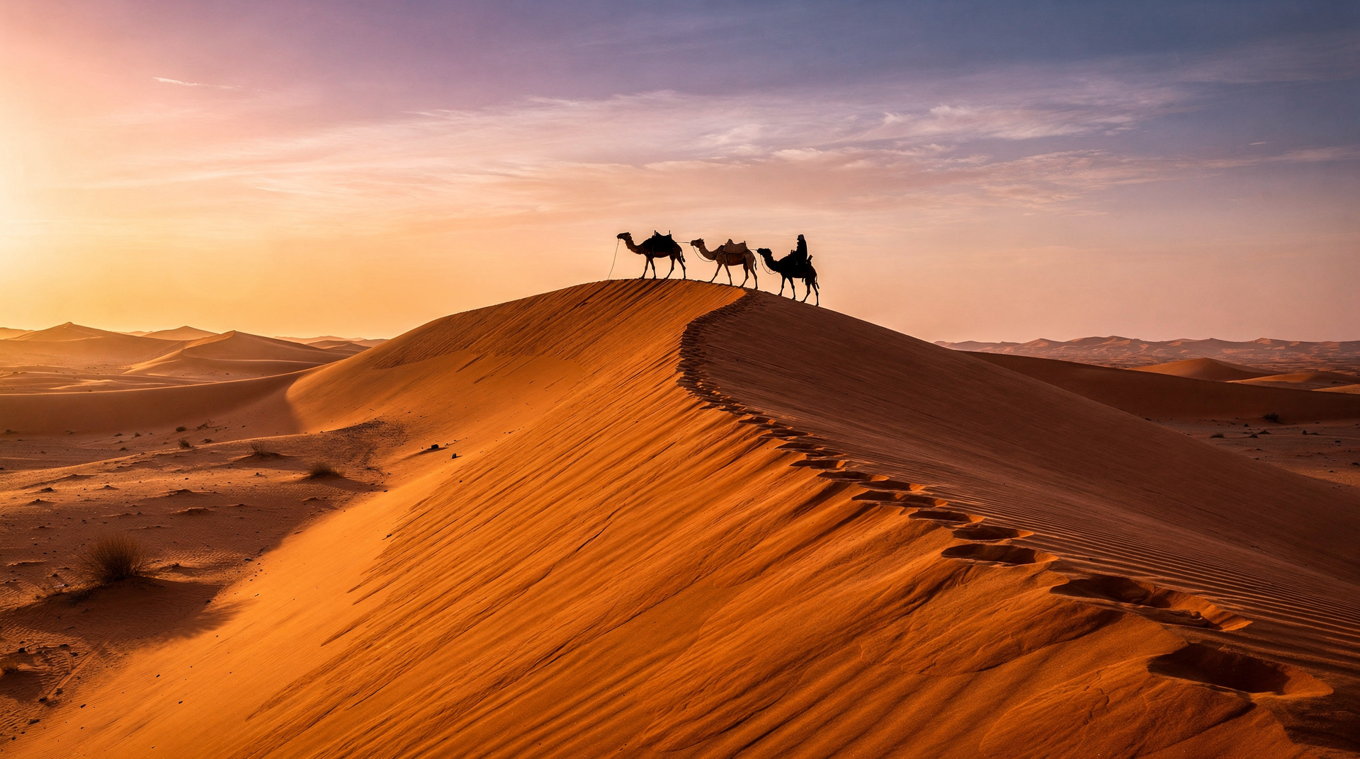
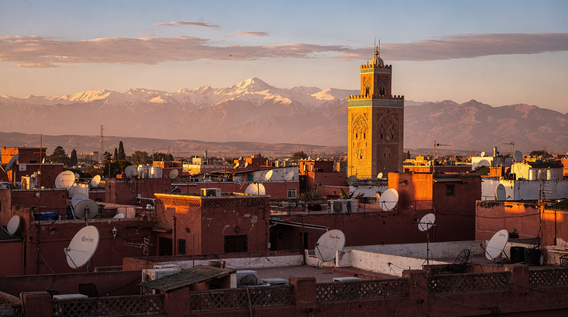
Imlil sits at 1,740 metres in the Mizane Valley, 64 kilometres south of Marrakech. The drive from Marrakech takes about 90 minutes on a good day — a long road through agricultural flatlands that begins to climb and narrow in the last 20 kilometres, passing through the village of Asni and switchbacking up through walnut orchards and terraced fields until the valley opens and you see Toubkal for the first time, genuinely large, snow-dusted in October, sitting at the end of a perfect glacial valley like it was placed there on purpose.
I arrived in Imlil the evening before my trek started and sat on the terrace of the Kasbah du Toubkal — a renovated fortress turned guesthouse just above the village, run in partnership with the local community — with mint tea and a plate of Berber soup watching the valley go dark. The light in the Atlas in the hour before sunset is unlike the light anywhere else I have been in Morocco: a warm red-gold that comes not from the sky but from the rock itself, granite and limestone of a particular colour that catches the late sun and turns it back doubled.
The village of Imlil has a permanent population of perhaps a few hundred Amazigh (Berber) families. Most of the men I spoke to were guides or mule handlers or both; the trekking economy has transformed the village economically in the past 30 years in ways the older residents described with complexity — not uniformly positive, not uniformly negative. Tourism brought money and infrastructure. It also brought pressure on traditional patterns and a new generation who calculate their futures in euros rather than agricultural cycles.
Day one: climbing with Mohamed
My guide was Mohamed — Mohamed Ait Lhaj, to be specific, which is to say he was from the Ait Lhaj clan that has guided in the Atlas for multiple generations. He was maybe 55, built like a climbing rope (thin, strong, deceptive), and walked at a pace that took me 20 minutes to stop embarrassing myself trying to match. He spoke Tachelhit (Berber), Moroccan Arabic, French, and enough English to tell me when to stop being an idiot.
The path from Imlil to the Nelter refuge climbs 1,300 metres over about 12 kilometres. The first third is through Berber villages — Aroumd, the last village before the proper climb, with flat-roofed adobe houses built into the cliff, women hanging laundry from rooftops, children appearing from improbably narrow doorways. The middle section is a long traverse through juniper scrubland and rockfield where mule teams ferry supplies up to the refuge and trekkers come down looking various shades of defeated. The final section is steeper scree, the landscape gone lunar, and the Nelter refuge appearing as a small red building on a bare ridge.
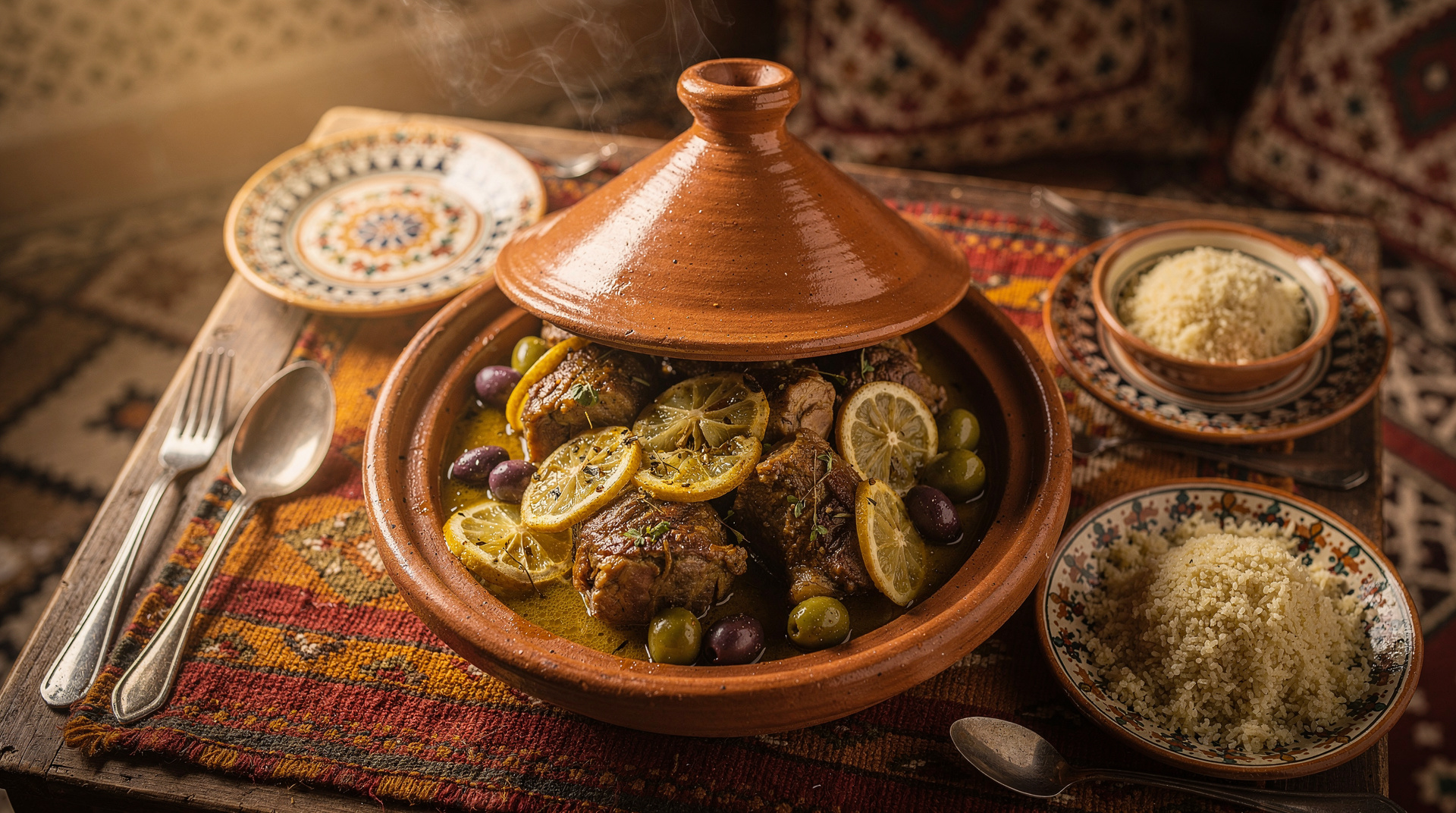
I have done mountain huts in the Alps and the Dolomites. The Nelter refuge is a different category: stone and metal, no showers, communal dormitories with foam pads, a kitchen producing surprisingly competent tagines and harira at altitude, and a gathering of perhaps 30 people from six countries all united by the same purpose. The atmosphere in mountain huts at that elevation is always slightly compressed — people have been pushing themselves all day, adrenaline of the morning’s attempt is still ahead, and the altitude does something useful to social pretension.
I slept badly. The altitude makes sleep difficult; you breathe too shallowly and wake up feeling like someone has wrapped your skull in wet wool. At 3 am Mohamed knocked on the dormitory door and said we were leaving in 30 minutes.
4:30 in the morning and an honest conversation with my body
The summit approach in the dark is a headlamp-lit procession up loose scree. The angle is moderate by Alpine standards — the technical difficulty of Toubkal is not the issue — but the altitude compounds everything. Each step feels like the last step your legs want to take. The air is genuinely thin at 3,500 metres in October; breathing requires conscious effort rather than automatic function.
The headache that had been building since dinner the previous evening became, somewhere around 3,600 metres, impossible to ignore. Not a normal altitude headache — those I had experienced before at lower elevations, unpleasant but manageable. This was specific and nauseating, accompanied by a growing light-headedness that I recognised from the literature as the beginning of altitude sickness proper rather than just discomfort.
I told Mohamed. He looked at me without judgment and asked some questions — how dizzy, was I nauseous, had I vomited. Not yet to the vomiting. He nodded.
“We go down,” he said. Not a question.
“I know,” I said.
We turned around. The summit was perhaps 600 metres above us. Maybe 2.5 hours at my pace. I could see other headlamps continuing up the scree in the dark. I watched them and felt a specific flavour of disappointment that I was not expecting to feel as strongly as I felt it.
What the descent gave me
Here is the thing about going up a mountain and failing: you still get the descent through everything you climbed through in the dark.
Watching the valley come back into view as the sun rose over the eastern Atlas ridgeline — an enormous orange sphere lifting above the rock and flooding the scree field with copper light — was one of the more purely beautiful things I have seen. The descent through the juniper section, which we had climbed in darkness, was transformed: hawks riding thermals in the morning updraft, the valley far below with its villages arranged along the river, Marrakech somewhere invisible to the north beyond the southern wall of mountains.
Mohamed walked beside me and, unprompted, told me about his father, who had guided the same route for 30 years before him, and about a French climber who had died on the summit approach 10 years ago in March, and about how his son was now training to be a guide, making the family’s occupation three generations long. He spoke about the mountain with a combination of respect and proprietorial familiarity that people who have worked a landscape for decades develop — not mysticism, but a very particular knowledge of a specific place.
When we reached Aroumd village on the way down, a woman came out of one of the cliff-face houses and handed Mohamed a package wrapped in cloth without a word — bread, baked that morning, warm through the cloth. He thanked her in Tachelhit and we ate it on a flat rock by the path. It was the best bread I ate in Morocco. Which is saying something because Morocco is very good at bread.
The refuge, two ways
The retreat to the Nelter refuge mid-morning was different from the arrival the previous afternoon. Now I was someone who had turned around, and the refuge contained other people who had turned around, and we all had the slightly sheepish camaraderie of people who had been humbled by the same thing.
A Dutch man my age had made it to 3,900 metres before being sick on the scree. A young French couple had summited but looked like they regretted it. Two Moroccan students from Casablanca were on their third attempt and had been pushed back by weather each time. They were completely cheerful about it, planning their fourth trip for the spring.
The Casablancans taught me a phrase in Darija (Moroccan Arabic): “Mashi mushkil” — no problem, or more precisely, it doesn’t matter. They used it specifically about the failed summit. One of them said something to Mohamed in Arabic and Mohamed translated: “He says the mountain has given you something. You don’t know yet what it is.”
This is the kind of thing that sounds like a fortune cookie when I write it and felt, in the moment, entirely genuine.
What actually changed my mind
I came to the Atlas to summit Toubkal and went home without having summited Toubkal. What I had instead:
A real conversation about a man’s life in a landscape his family had navigated for three generations. The particular quality of bread baked at altitude in a wood-burning oven. The sunrise over the Atlas from 3,600 metres — fractionally less impressive, I imagine, than the sunrise from 4,167 metres, but extraordinary regardless. A working knowledge of which muscles object most strenuously to sustained descent on loose scree. A revised understanding of what altitude actually does to human cognition and how it differs from cold, fatigue, or dehydration.
And something harder to name: the recognition that I had been approaching the Atlas as a thing to conquer rather than as a place. The summit was the target and everything else was context. Failing the target opened up the context.
I went back to Imlil for a second night before descending to Marrakech. Mohamed invited me to dinner with his family — his wife had made mrouzia (lamb with raisins and honey, the Fassi spice mix lending it a particular sweetness) and served it with five salad dishes and bread. We ate cross-legged on cushions while his youngest daughter watched me try to eat with my right hand only and covered her mouth to hide her laughter at my technique.
The Imlil destination page has practical details on guides, agencies, and the trek logistics. If you are planning the Toubkal attempt, the Atlas Mountains guide covers the full range of Atlas trekking options — Toubkal is the highest but not the only route worth doing. For those who want an Atlas day rather than a multi-day commitment, the Berber village and Atlas Mountains day trip from Marrakech covers the Imlil valley and Berber villages in a single day — a genuine taste of the landscape and culture without requiring a two-night commitment.
On altitude and honesty
If you are planning the Toubkal summit, some things I wish I had taken more seriously:
Acclimatisation matters. My mistake was going too fast from 1,740 metres (Imlil) to 3,207 metres (Nelter refuge) in one day, then attempting the summit the following morning. A night at Imlil to acclimatise before the refuge, or a slow acclimatisation day between villages, would have made a difference. Most guides recommend this. I had a tight schedule and ignored the recommendation.
October is late-season. The altitude amplifies cold that the daytime temperatures do not warn you about — it can be 18°C in Imlil and -8°C at the summit approach in October. Layer properly.
A guide is not optional on the summit attempt. Not because the route is technically complex — it is not — but because good decision-making at altitude requires someone who knows what serious altitude sickness looks like and has the authority to turn you around. Mohamed’s reading of my situation was correct and fast.
The Atlas vs Sahara Morocco guide covers how these two major landscapes compare as trip priorities, which might help if you are weighing the trekking focus against a desert trip. If you are leaning toward trekking but want a less committing entry point than Toubkal, the Atlas Mountains day trip covering 3 valleys and waterfalls gives you a proper day in the High Atlas with real walking without the altitude exposure — a sensible reconnaissance before committing to the Nelter refuge.
I am going back in the spring. Mohamed’s number is in my phone. I will acclimatise properly this time.
The mountain is still there.